
Pittsburgh ZIP Code Directory Areas
The City’s 311 mapping service identifies 29 ZIP-area overlay values. Those polygons are useful for locating City service geography. They are not a City-limit statement, a neighborhood list, or a list of people. The research did not identify a complete official ZIP-to-neighborhood or post-office-station table, so the table below keeps the source’s actual scope intact. Verify a specific address separately before treating an overlay result as its municipal geography.
| ZIP code | Area covered | Post office | Source note |
|---|---|---|---|
| 15136, 15147, 15201, 15203, 15204, 15205, 15206, 15207, 15208 | City 311 ZIP-area polygons | Not identified by the researched source | Postal geography, not a neighborhood boundary |
| 15210, 15211, 15212, 15213, 15214, 15215, 15216, 15217, 15218, 15219 | City 311 ZIP-area polygons | Not identified by the researched source | Confirm municipal status address by address |
| 15220, 15221, 15222, 15224, 15226, 15227, 15232 | City 311 ZIP-area polygons | Not identified by the researched source | Overlay values should not be read as resident counts |
| 15233, 15234, 15236 | City 311 ZIP-area polygons | Not identified by the researched source | Use a current address to test the relevant polygon |
The City overlay contains 15136 and 15147 as well as the Pittsburgh-style 152xx values. That fact alone shows why an area code or a postal name is not enough to identify a jurisdiction. For a record search, retain the exact physical address and move to the County PIN or map-block-lot value rather than guessing from the ZIP alone.
Pittsburgh’s 311 ZIP Overlay
The Pittsburgh 311 ZIP-area feature layer exposes polygon geography through its zip5 values. It is a direct City mapping source for the 29 overlays, making it better suited to confirming a service-area relationship than a generic postal label. It does not provide an official station name for each value, and it does not convert an overlay into a City boundary or a resident roll.
The City 311 ZIP-area feature layer is the source shown for this local map reference.
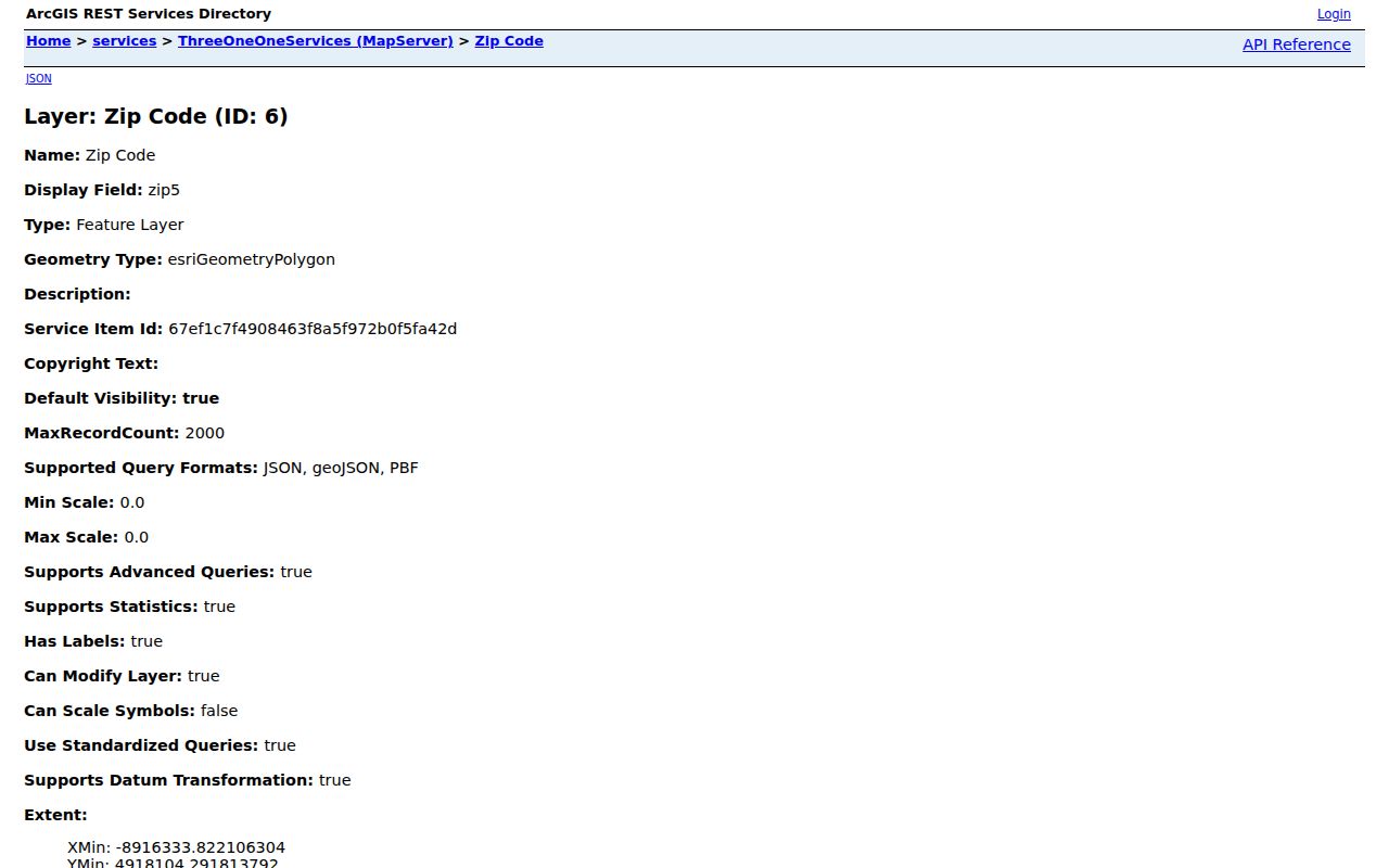
The feature layer supports a geography check before the address is carried into County records, where a PIN or map-block-lot can supply a more stable record key.
Note: The City 311 layer answers a service-area question and should be paired with an address-level boundary check.
Pittsburgh ZIP Code Search Limits
County address points produce a different Pittsburgh ZIP picture. A query for MUNICIPALITY = CITY OF PITTSBURGH returned 36 current ZIP values, including 15106, 15120, 15202, 15235, and 15238, which do not appear in the City’s 29-overlay list. The County data also identifies 15106 with a Carnegie postal label and 15120 with a Homestead postal label inside City address points. These are concrete examples of ZIP and municipal geography not lining up.
Five County values, 15260, 15261, 15282, 15289, and 15290, are classified as unique ZIPs. A unique ZIP is not a neighborhood and should never be expanded into a broad location claim. County figures are address points, not counts of residents, voters, or delivery stops. The two sources are complementary because they measure different things: City service-area polygons and County address records.
The County address-point layer also holds number, prefix, street name, suffix, municipality, full address, unit or floor, county, state, ZIP+4, parcel ID, status, and source fields. Those fields explain why an exact address is more useful than an area label when the question turns to a particular parcel. The GIS viewer can suggest up to 20 matching full addresses, while parcel searches use a PIN or map-block-lot. Review the selected result before carrying an identifier into another office’s system.
Pittsburgh Neighborhood Snapshots is a City-supported geography reference that helps place an address in a neighborhood context without treating neighborhoods as ZIP boundaries.
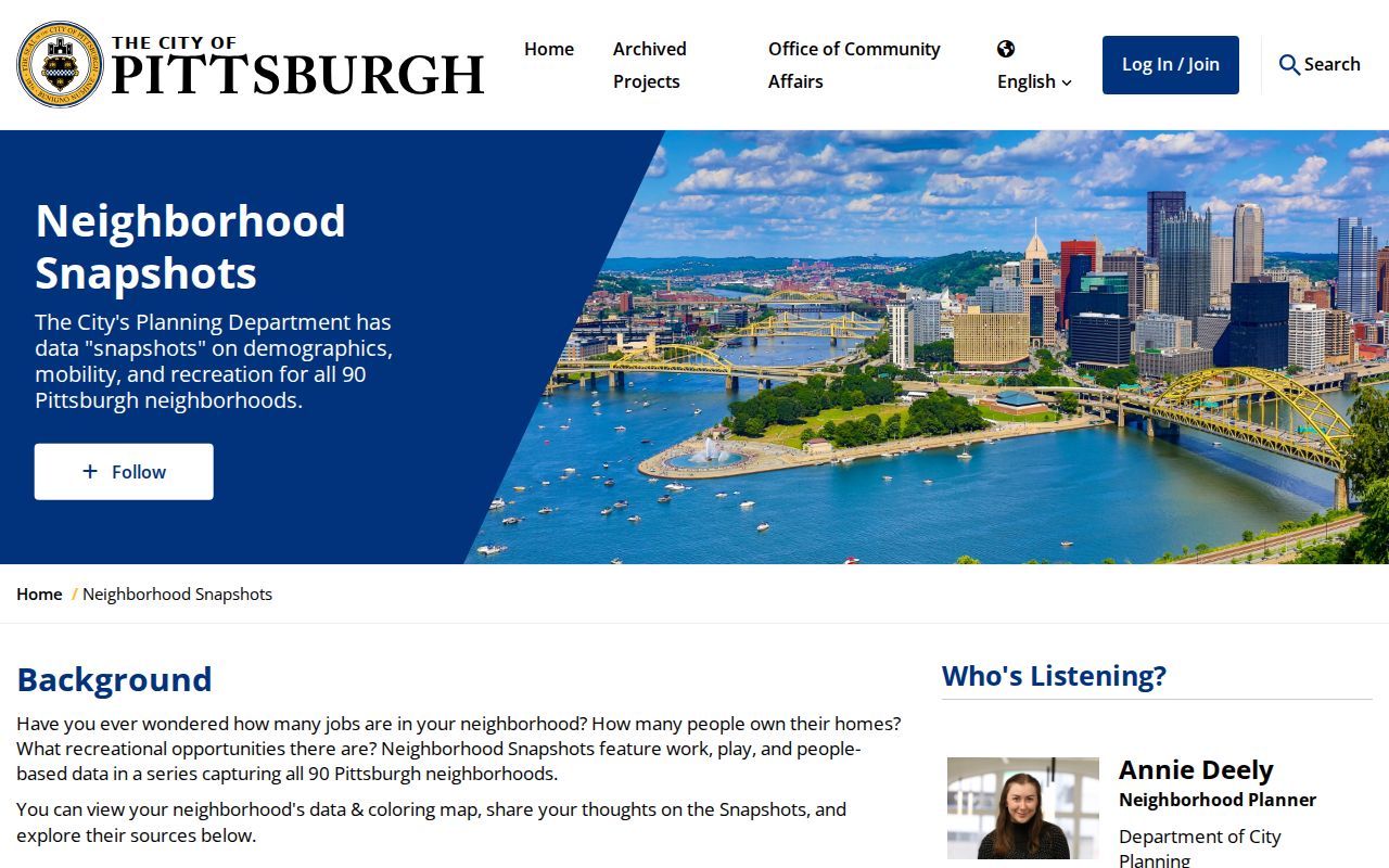
Neighborhood context can clarify a search area, but a current address, ward, parcel, or ZIP check is still required for the particular record being tested.
Find Records Through a Pittsburgh ZIP
A ZIP can narrow geography, not create an official ZIP-wide residents list. OneStopPGH Insights is the local tool with a documented ZIP filter: its Building view searches address, neighborhood, or ZIP and filters permit number, status, and type. The output is City permit, plan, code, or inspection activity. The County Property Portal does not have a verified public ZIP filter, and the County GIS viewer searches a full address, PIN, or map-block-lot instead. Formal voter files are County-level request products, not ZIP browser results.
| OneStopPGH control | Documented use | Result limit |
|---|---|---|
| Address, neighborhood, or ZIP search | Locate City record activity by geography | Does not list residents |
| Permit number, status, or type filter | Refine building and permit activity | Does not establish property ownership |
| Ward or council-district filter | Compare a separate City geography layer | Not interchangeable with a ZIP |
- Confirm the exact address against the City ZIP-area source and the relevant postal or municipal reference.
- Keep the physical address and ZIP together, then use the County GIS viewer to obtain the parcel PIN or map-block-lot.
- Use the County property portal by address or PIN for assessment and mailing clues. Treat those fields as property information, not a resident roster.
- Carry the PIN, book/page, or dated party information to DRE when a recorded title sequence is needed.
Once a ZIP has narrowed the location to a named street, the Pittsburgh street directory provides the address-based record sequence.
Pittsburgh ZIP Codes and PINs
Four location fields can appear to describe the same place but answer different questions. The Office of Property Assessments distinguishes Physical Property Location, Owner Mailing, and Tax Mailing. The postal ZIP belongs to the mailing and delivery layer. A PIN identifies the parcel in the County record system. Keeping those values separate prevents an old mailing field or shared ZIP from being treated as the property’s physical location.
| Physical location | The site address used to locate a parcel and its local geography. |
|---|---|
| Owner mailing | The address used for assessment and appeal notices. It may differ from the physical location. |
| Tax mailing | The field used for tax mail. It can differ when taxes are escrowed. |
| PIN | The Allegheny parcel identifier used to carry a verified property to GIS and DRE records. |
County GIS has parcel geometry and PIN or map-block-lot data but no owner field. Use it as the bridge between a verified postal location and the property portal. Then use DRE for recorded title history. This keeps each custodian’s data in the role it actually supports.
Note: A ZIP, parcel, and mailing address can all be valid at once while referring to different geographic or administrative functions.
Pittsburgh Neighborhoods Beyond ZIPs
Pittsburgh has 90 neighborhoods, and the City’s hills and rivers helped create distinct local street systems that do not always connect. Neighborhoods and wards are useful context for a record search, especially when an older address needs a geographic check. They do not follow ZIP lines. A neighborhood name can help identify which City map or archive context to consult, but it should not replace the exact address, ward, PIN, or legal description.
For historic work, record the ward with the address when it is available. A later postal value or neighborhood label can obscure the location used by an older directory, map, deed, or census record. The durable bridge is the combination of the period’s address form, ward or plan information, and the County parcel or legal-description trail.
The City’s Neighborhoods and Wards resource supplies district and ward maps. Use those maps alongside a ZIP source when comparing a City service area with a municipal or historic record. A street name by itself can be a weak historic locator in Pittsburgh because separate areas developed their own street patterns.
Pittsburgh Address Authority and ZIPs
City Code Chapter 420 governs uniform street naming and addressing. The Department of Innovation and Performance and the Addressing Review Committee are the local authorities for street and address decisions. The City and County 911 CAD Geofile is the official street file. USPS is a non-voting advisor to the committee, and it does not assign a new municipal address. That division of responsibilities matters when an old source and a current ZIP or street form seem to conflict.
Address requests can use City digital, email, committee, or paper procedures. A site plan can require the parcel ID, surrounding streets, and main entrances. The City advises that an approved change may take up to 90 business days, and the owner remains responsible for notifying others. The research did not verify any historic Citywide renumbering year, so modern Chapter 420 should not be used to claim that a historic block was renumbered.
Pittsburgh Code Chapter 420 is the local source for these address-authority rules.
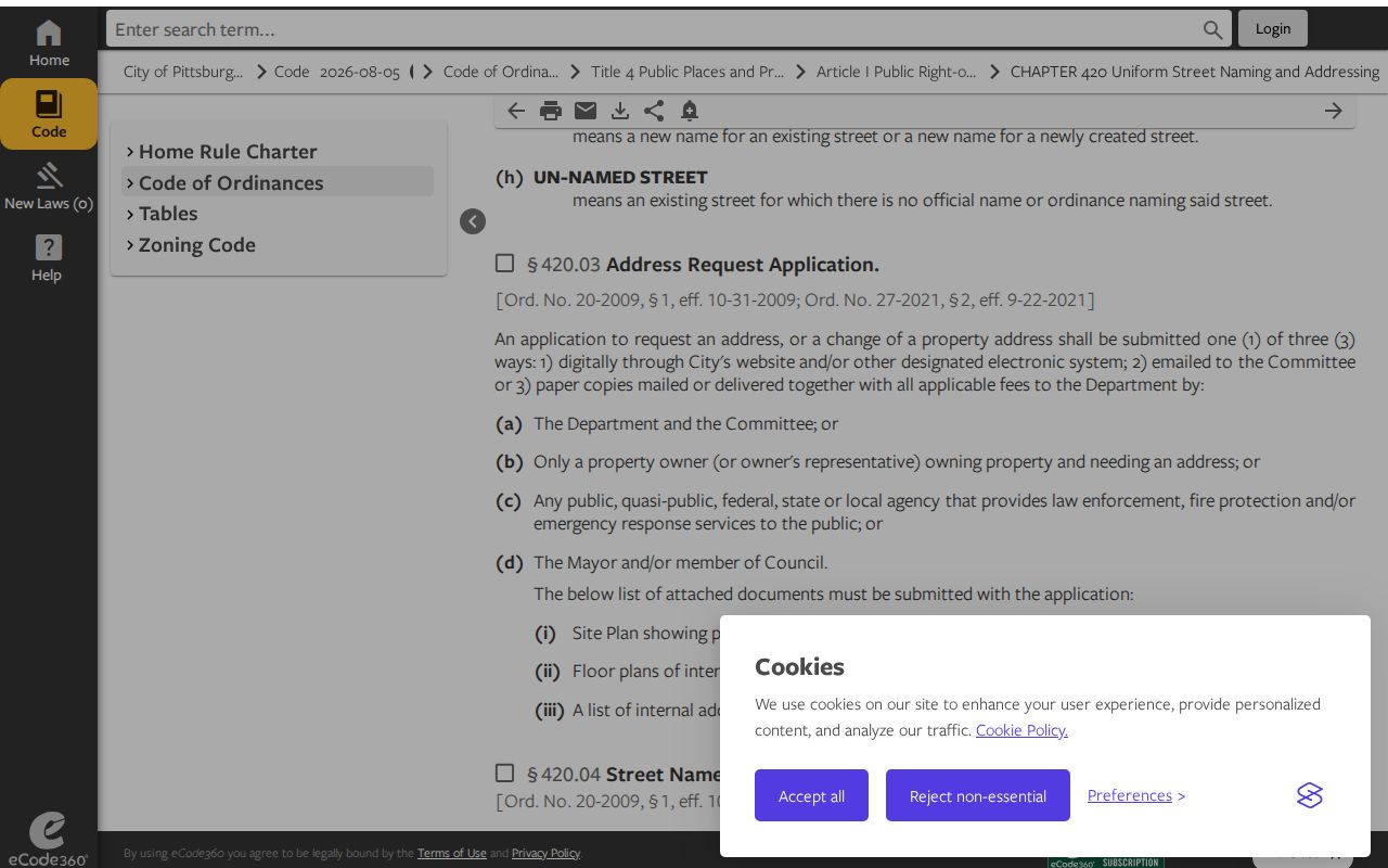
For a changed or disputed address, preserve the historic form and seek City or County documentation instead of inferring an answer from a postal label.
Pittsburgh ZIP Code Boundary Limits
The City expressly warns that USPS ZIP boundaries differ from municipal boundaries and that some addresses labelled Pittsburgh are outside City limits. This affects public-record searches because City permits, County parcels, voter procedures, and court jurisdiction do not use a postal label as their controlling boundary. Confirm the address against the City boundary or the proper custodian before assuming that a postal designation determines the relevant records office.
- ZIP and ZIP+4
- A ZIP is a broad postal routing code. ZIP+4 adds a smaller delivery segment and does not establish a parcel or City boundary.
- PO-box ZIP
- A ZIP assigned to post-office boxes. It is a delivery designation, not evidence of a physical street location.
- Unique ZIP
- A code classified for a particular institution or purpose. County data identifies several within Pittsburgh address points.
- Carrier route
- A postal delivery sequence used for mail distribution. It is not the same as a ward, neighborhood, parcel, or City limit.
Boundary check. Treat a Pittsburgh postal designation as a starting geography. Use the exact address, City boundary evidence, and County parcel identifiers before relying on a record result.
Note: A shared postal label can be useful for sorting mail but does not select the proper public-record custodian.