
Search Pittsburgh Streets by Address
The first pass through a Pittsburgh street directory is an address trail, not a household roll. Allegheny County’s public property screen is designed for an address or parcel number. It can supply a physical property location, a parcel identifier, building and tax facts, and dated sale or recording clues. A name shown as an owner or in a mailing field has a limited meaning. Owner mailing and tax mailing can differ from the physical location, and neither one proves present residence. Keep the returned address exactly as displayed, then retain the PIN and any MBL or book-and-page reference before moving to the map or deed system.
- Enter the house number and street name in the County Property Portal. Omit the street suffix, and leave Municipality blank when it is unknown.
- Record the physical address, PIN, sale or recording clue, and the difference between physical, owner-mailing, and tax-mailing fields.
- Search the PIN, MBL, or full address in the County GIS viewer to confirm the parcel’s geometry and nearby lots.
- Use the PIN, Book/Page, recorded date, or named document party in DRE to follow a title instrument, rather than treating a parcel card as complete history.
- For the limited voter-by-street channel, use Pennsylvania’s formal Street or Walking List request. For dated household research, ask the library for an actual reverse or criss-cross volume and pair it with a same-era map.
Each handoff answers a different question. The portal helps locate the property, GIS confirms the map object, and the Department of Real Estate records instruments. A document party can be an estate, trust, business, or other recorded party. It should not be read as a statement about who occupies a Pittsburgh address now.
Pittsburgh Street Directory Search Fields
Allegheny County’s property-record gateway leads to a public address-or-parcel search. The County describes an added registered service for owner-name searching, so a regular public query should begin with an address or PIN. That distinction keeps a Pittsburgh street directory search tied to the type of access the County actually documents.
| County field | Input | Use on a Pittsburgh street |
|---|---|---|
| Search mode | Address or Parcel Number | Choose the address mode unless a County PIN is already known. |
| House Number | Text | Use it to narrow a long street or a repeated name. |
| Street Name | Text with autocomplete | Enter the name without Street, Drive, Circle, or another suffix. |
| Municipality | Optional dropdown | Leave it blank when uncertain, then confirm the returned location. |
| Parcel Number | Text | Use the County PIN after the map or a property record supplies it. |
The County gateway is shown in this property-search capture.
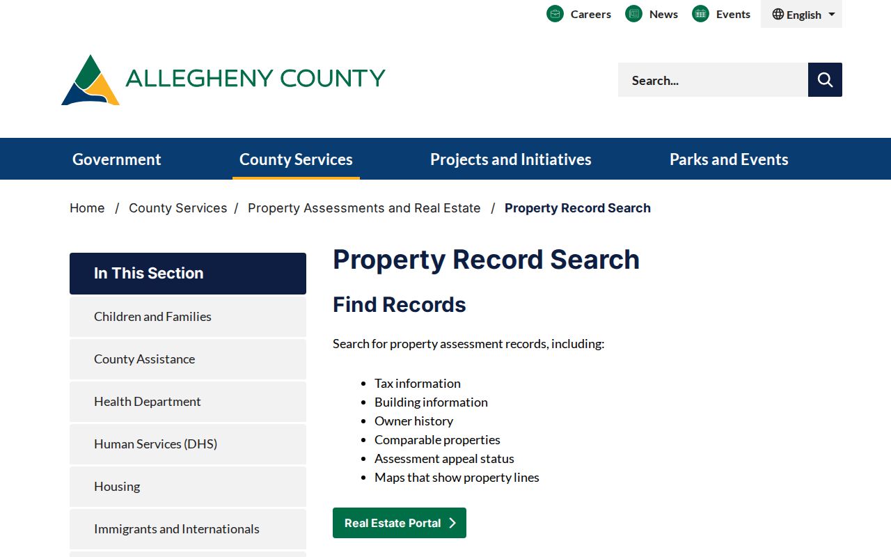
The screen’s address and parcel choices are the practical starting point for a Pittsburgh street search. Review the returned date and reference details before carrying a result into another record system.
The printable parcel-card schema includes school district, neighborhood, sale and recording fields, tax and building details, and owner information rows. It also carries two important County cautions: owner history is not complete, and a Homestead value of YES can remain after a sale or deed change. DRE is the stronger source for the full recorded title sequence. When a portal result is insufficient, documented assessment-copy requests can also go by phone, email, fax, or mail.
Pittsburgh Streets on the GIS Viewer
The Allegheny County GIS viewer is the map handoff in the Pittsburgh street directory process. Its address-point search accepts a fuzzy FULL_ADDRESS search. Parcel polygons use PIN or MAPBLOCKLOT. The viewer offers parcel and address layers, pan and zoom, drawing, measuring, printing, a legend, and basemap controls. It can return up to 20 suggestions or results, so a complete address or a PIN helps when a street name is common.
The County GIS viewer is visible in this parcel-and-address map capture.
GIS supplies geometry and the identifiers that connect an address to County records. Its parcel layer has no owner field and no deed or assessment image, so it is a locator rather than a people list. Carry the PIN to the Property Portal for assessment and mailing facts, then to DRE for title history.
- Parcel
- A mapped property unit. In Allegheny County, the PIN is the parcel identifier used to carry a result between systems.
- Situs address
- The physical property location. It is different from the owner-mailing or tax-mailing address on a property record.
- MBL
- Map Block Lot, a map-based property reference that can help identify a parcel when an address is unclear.
- Plat or plan
- A recorded subdivision or lot plan. Plan and lot references can remain useful when a street form changes.
- Criss-cross directory
- A reverse directory arranged by street or address rather than surname. The research does not verify a Citywide Pittsburgh run, so ask the holder about the actual year and volume.
DRE Records Behind Pittsburgh Street Numbers
Street numbers can change or repeat, while a legal description, City ward, plan and lot, Book/Page reference, or PIN can connect a Pittsburgh property more reliably. The DRE advanced search accepts party names, grantor, grantee, recorded-date ranges, document number, document type, Book/Page, full-document text, and a 14 to 17 digit PIN without dashes. Search a former seller as grantee to locate that party’s acquisition, then repeat the sequence backward when the instrument supports it.
The Department of Real Estate’s controls appear in this advanced land-record search capture.

The search fields make it possible to place a document on a title timeline. They do not turn a grantor or grantee into a verified current resident. Image availability must be checked for the particular volume or instrument because the research does not establish one universal online-image cutoff.
Note: A DRE document confirms a recorded instrument and its parties, not a complete list of the people living at that address.
Pittsburgh Street Deed References
Allegheny County’s deed guidance explains why prior references matter. A Pittsburgh deed needs municipality, City ward where applicable, County and Commonwealth, plus a lot and Plan Book reference, full metes-and-bounds description, or prior-deed reference. The Department of Real Estate recognizes historic land material back to 1788, while the State Archives identifies grantee-index microfilm through 1904.
The County’s deed requirements are pictured in this deed-reference capture.
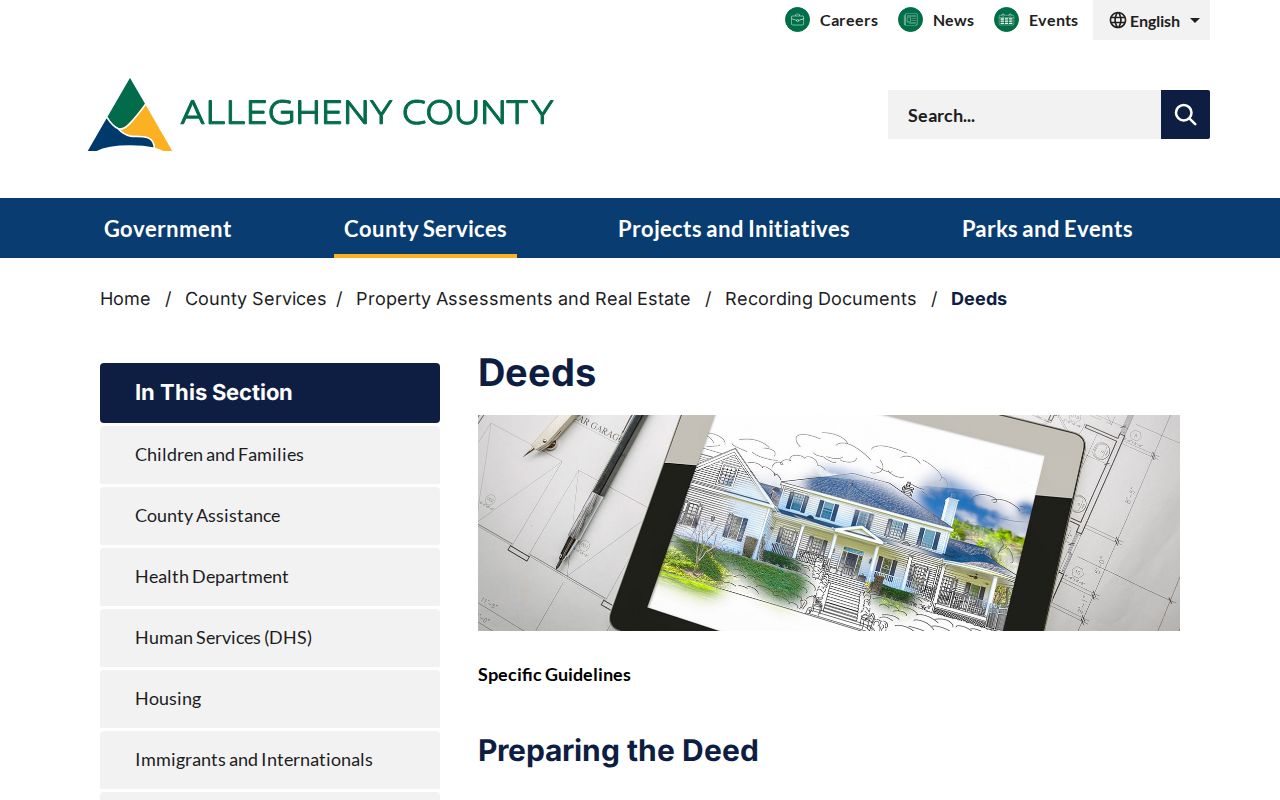
Use the legal-description bridge when an old spelling or a changed address makes a street-number match weak. County DRE counter, mail, and online routes remain available, with the counter in Room 101 of the County Office Building.
Pittsburgh Street Records by Source
Several Pittsburgh records can be searched by street or handed off from a street address, but their meanings differ. The table separates the available channel from the claim it can support. It also shows why a single screen should never be treated as a complete street directory.
| Address-keyed record | Local keeper | What it can show | Access route |
|---|---|---|---|
| Assessment and property record | Allegheny County OPA | Physical location, mailing fields, tax, building, sale and recording clues | Public address/PIN portal; card requests by documented County channels |
| Parcel and address geometry | Allegheny County GIS | PIN, MBL, acreage, address points, and adjacent parcel geometry | Public viewer and published layer schema |
| Recorded land instrument | Allegheny County DRE | Grantor, grantee, document type, recording date, Book/Page, and legal description | Public index, counter, and mail route |
| Permit or certificate activity | Pittsburgh PLI and OneStopPGH | Project, permit, inspection, code, or occupancy milestone | Address, record-number, neighborhood, or ZIP search; counter where needed |
| Street or Walking voter list | Pennsylvania Department of State | Defined statutory voter fields by street | Formal Allegheny County request with identification, affirmation, and fee |
A useful handoff is physical address to PIN, PIN to DRE, then the document’s legal reference back to the property. That is more reliable than trying to infer a household from an owner-mailing field. For an old household question, the historical volumes belong on the Pittsburgh city directory collections page, rather than in a modern street-record search.
Pittsburgh Street Permit Activity
OneStopPGH Insights adds dated project context to a Pittsburgh street address. The public map covers planning and zoning applications, construction permits, street permits and plans, code-enforcement cases, condemned buildings, and related records. Search begins with an address or record number. Filters include Council district, neighborhood, ward, ZIP code, and record type. The Building view can also be narrowed by permit number, open or complete status, and permit type.
Permit activity is not a household register. A named applicant, inspector, supervisor, or license holder has a role in a dated City record. The City’s counter at 412 Boulevard of the Allies offers another channel, open Monday through Friday from 9:00 to 3:00, and the account portal may be needed to manage an application. On July 10, 2026, the City announced a public Permit Tracker with workflow, required and completed inspections, inspection summaries, and direct Certificate of Occupancy downloads from related OneStop records for certificates since June 2019.
Pittsburgh Street Address Authority
Pittsburgh’s address history has an official local chain. City Code Chapter 420 governs uniform street naming and addressing. The City Department of Innovation and Performance and its Addressing Review Committee handle the authority process, while the City and County 911 CAD Geofile is the official street file. USPS is a non-voting adviser to the committee, and it does not assign a new address. This matters when the printed form in an older record differs from a current result.
The County’s Address Management information describes the County role in central data used by 911, OPA, and DRE.
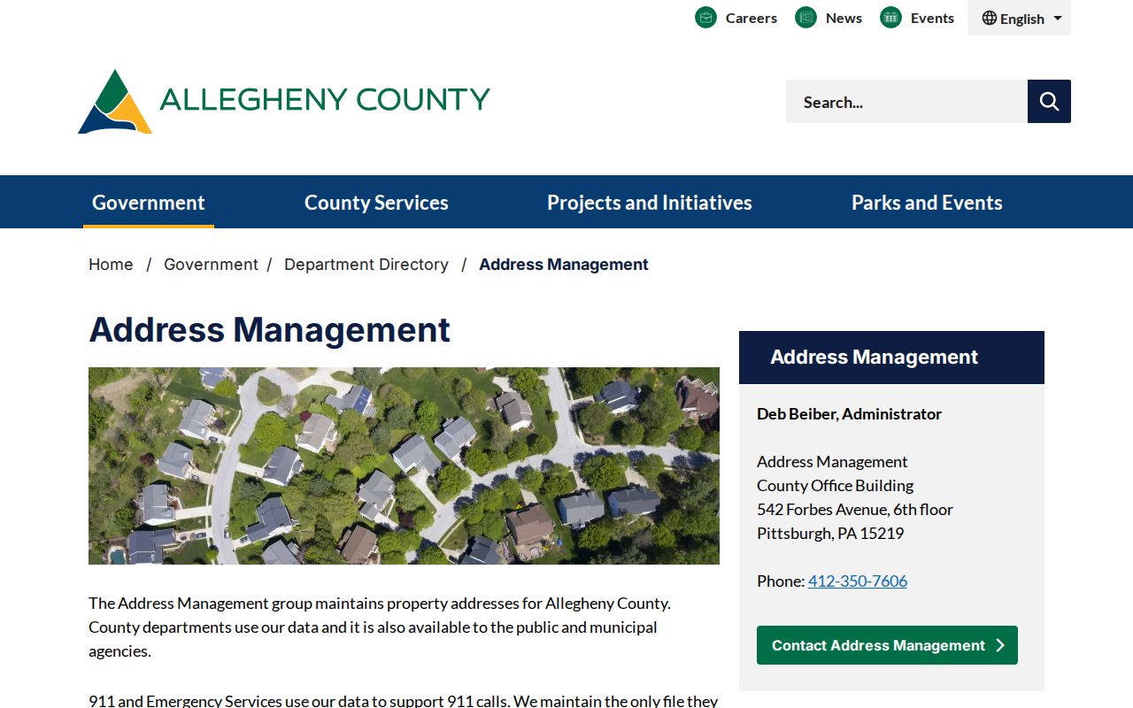
Municipalities assign or change addresses, and County Address Management is the local data bridge for a discrepancy. An approved City change may take up to 90 business days before it becomes effective. Preserve the historic address as written, then pair it with a ward, plan, PIN, or official change documentation instead of silently rewriting the older source.
Note: No authoritative research source established one Citywide historic renumbering year, so a date-specific change needs documentation for that address or street.
Pittsburgh Streets Are Not One Map
Hills and rivers shaped Pittsburgh into distinct local street systems that often do not connect. The City describes 90 neighborhoods, and a street name alone can be a weak historic locator. A Pittsburgh street directory result is stronger when it carries the municipality, ward, neighborhood, parcel identifier, legal description, date, or document number. The City’s Neighborhoods and Wards material can supply geographic context, but it is not a resident roll.
For an older property, map the address within its own time period. Historic Pittsburgh’s Hopkins collection has 47 volumes and more than 1,800 plates from 1872 through 1940. A same-era directory address and a map plate can help connect a street spelling, lot or block, and ward. Do not carry a later owner name backward onto an earlier plate.
Pittsburgh Street Voter Requests
Pennsylvania’s individual registration-status tool is an online, phone, and county-office route, not a casual Pittsburgh street browser. The researched by-street channel is the formal voter-list request form. It offers Public Information, Street, Walking, and Full Voter Export list types. The Street List includes name, residence or mailing address, party, and active or inactive status. The Walking List omits mailing address.
| Individual status route | Confirms one person’s registration status through the state’s documented online, phone, or county channels. Live field details were not verified during research. |
|---|---|
| Formal Street or Walking List | Requires a marked list choice, Allegheny County selection, requester identity details, identification, signed affirmation, and the documented $20 fee. |
| Use boundary | The form restricts use under cited law, bars Internet publication, and carries false-statement warnings. It is not an unrestricted map or sharing tool. |
Use only the access channel that matches the question. Pennsylvania’s voter-list safeguards protect particular fields and allow alternate public mailing for protected categories. An individual address finding does not authorize redistribution of a list.
Pittsburgh Street Directory Boundaries
A Pittsburgh street directory can connect publicly documented parcels, title instruments, dated City activity, and tightly controlled voter information. It cannot reveal every household member or create a verified roster of unrecorded people. County property, GIS, and DRE systems describe property and recorded title facts. DMV, utility, delivery, and customer data are not supplied as County street-directory records. Court and vital-record limits apply separately, and a nonresult is not proof that no record exists.
Pennsylvania’s Address Confidentiality Program provides an alternative mailing address within a safety plan for eligible participants. The program is not a general deletion right for every historic source. State law also protects actual address and program records through statutory processes. Correct an address or record error with the office that keeps it.
Note: If a parcel fact, title entry, and mailing field disagree, request clarification or a copy from the custodian instead of choosing the result that seems most convenient.